FROM: NWS Blacksburg VA
AREA: Halifax, VA
SENT: 2026-06-10T15:47:00-04:00
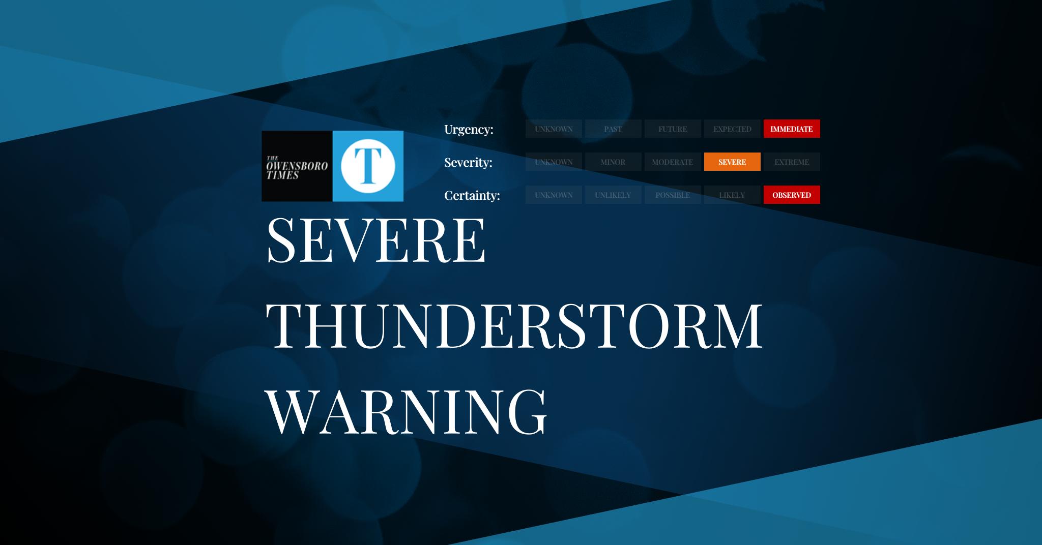
Severe Thunderstorm Warning issued June 10 at 3:47PM EDT until June 10 at 4:30PM EDT by NWS Blacksburg VA
At 347 PM EDT, a severe thunderstorm was located over Buffalo
Springs, or 8 miles northeast of Virgilina, moving southeast at 35
mph.
HAZARD…60 mph wind gusts and quarter size hail.
SOURCE…Radar indicated.
IMPACT…Hail damage to vehicles is expected. Expect wind damage to
roofs, siding, and trees.
Locations impacted include…
Scottsburg…
Hitesburg…
Staunton River State Park…
Dryburg…
and John H Kerr Reservoir.
Prepare immediately for LARGE HAIL AND DAMAGING WINDS. For your
safety, move to an interior room on the lowest floor of a sturdy
building. Stay away from windows.
Locally heavy rain will quickly reduce visibility and result in
ponding of water on roadways, standing water in low lying areas, and
minor flooding of creeks, streams, and areas of poor drainage.
Drivers are urged to slow down and use extra caution to avoid
hydroplaning.
When it is safe to do so, please send your reports of hail of any
size, as well as reports of any wind damage, including downed trees
or large limbs, to the National Weather Service by calling toll free
at 1…8 6 6…2 1 5…4 3 2 4. Reports and pictures can also be
shared on the National Weather Service Blacksburg Facebook page and
on X.
Alert Expiration: 2026-06-10T16:30:00-04:00
⚠️ This alert has been CANCELLED by NWS Blacksburg VA.
Leave a Reply