Mindblown: a blog about philosophy.
-

Tornado Watch
FROM: NWS New Orleans LA AREA: Jefferson, LA; Lafourche, LA; Orleans, LA; Plaquemines, LA; St. Bernard, LA; Hancock, MS; Harrison, MS; Jackson, MS SENT: 2026-02-15T02:25:00-06:00 Tornado Watch issued February 15 at 2:25AM CST until February 15 at 5:00AM CST by NWS New Orleans LA TORNADO WATCH 7 REMAINS VALID UNTIL 5 AM CST EARLY THIS…
-

Winter Storm Warning
FROM: NWS Las Vegas NV AREA: White Mountains of Inyo County SENT: 2026-02-15T00:21:00-08:00 Winter Storm Warning issued February 15 at 12:21AM PST until February 18 at 10:00PM PST by NWS Las Vegas NV * WHAT…Heavy snow possible. Total snow accumulations exceeding 2 feet above 8000 feet….1 to 2 feet above 7000 feet….and 8 to 16…
-

Winter Storm Warning
FROM: NWS Las Vegas NV AREA: Eastern Sierra Slopes of Inyo County SENT: 2026-02-15T00:21:00-08:00 Winter Storm Warning issued February 15 at 12:21AM PST until February 18 at 10:00PM PST by NWS Las Vegas NV * WHAT…Heavy snow possible. Total snow accumulations exceeding 3 feet above 8000 feet…1.5 to 2.5 feet above 7000 feet…and 8 to…
-

Winter Storm Warning
FROM: NWS Las Vegas NV AREA: Sheep Range; Spring Mountains-Red Rock Canyon SENT: 2026-02-15T00:21:00-08:00 Winter Storm Warning issued February 15 at 12:21AM PST until February 18 at 10:00PM PST by NWS Las Vegas NV * WHAT…Heavy snow is possible in the Spring Mountains and Sheep Range above 5000 feet. Total snow accumulations exceeding 2 feet…
-

Winter Storm Warning
FROM: NWS Las Vegas NV AREA: Esmeralda and Central Nye County SENT: 2026-02-15T00:21:00-08:00 Winter Storm Warning issued February 15 at 12:21AM PST until February 18 at 10:00PM PST by NWS Las Vegas NV * WHAT…Heavy snow possible. Total snow accumulations between 5 and 10 inches possible. Winds could gust as high as 45 mph. *…
-

Fire Weather Watch
FROM: NWS Wichita KS AREA: Russell; Lincoln; Barton; Ellsworth; Saline; Rice; McPherson; Reno; Kingman; Harper SENT: 2026-02-15T02:08:00-06:00 Fire Weather Watch issued February 15 at 2:08AM CST until February 17 at 7:00PM CST by NWS Wichita KS The National Weather Service in Wichita has issued a Fire Weather Watch for extreme grassland fire danger, which is…
-

Fire Weather Watch
FROM: NWS Dodge City KS AREA: Ellis; Rush; Pawnee; Stafford; Edwards; Kiowa; Pratt; Comanche; Barber SENT: 2026-02-15T02:06:00-06:00 Fire Weather Watch issued February 15 at 2:06AM CST until February 17 at 6:00PM CST by NWS Dodge City KS …Critical Wildfire Danger Expected Tuesday Afternoon… The National Weather Service in Dodge City has issued a Fire Weather…
-

Fire Weather Watch
FROM: NWS Dodge City KS AREA: Trego; Scott; Lane; Ness; Hamilton; Kearny; Finney; Hodgeman; Stanton; Grant; Haskell; Gray; Ford; Morton; Stevens; Seward; Meade; Clark SENT: 2026-02-15T02:06:00-06:00 Fire Weather Watch issued February 15 at 2:06AM CST until February 17 at 8:00PM CST by NWS Dodge City KS …Critical Wildfire Danger Expected Tuesday Afternoon… * AFFECTED AREA…Fire…
-
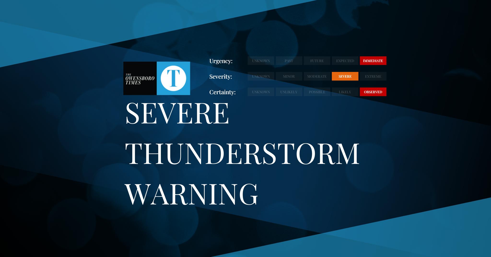
Severe Thunderstorm Warning
FROM: NWS Jackson MS AREA: Jasper, MS; Jones, MS SENT: 2026-02-15T02:02:00-06:00 Severe Thunderstorm Warning issued February 15 at 2:02AM CST until February 15 at 2:15AM CST by NWS Jackson MS At 201 AM CST, severe thunderstorms were located along a line extending from near Garlandville to near Paulding to near Moss, moving northeast at 45…
-

Tornado Watch
FROM: NWS Jackson MS AREA: Clarke, MS; Covington, MS; Forrest, MS; Jasper, MS; Jones, MS; Lamar, MS SENT: 2026-02-15T02:00:00-06:00 Tornado Watch issued February 15 at 2:00AM CST until February 15 at 5:00AM CST by NWS Jackson MS TORNADO WATCH 7 REMAINS VALID UNTIL 5 AM CST EARLY THIS MORNING FOR THE FOLLOWING AREAS IN MISSISSIPPI…
Got any book recommendations?