Mindblown: a blog about philosophy.
-

Tornado Watch
FROM: NWS Peachtree City GA AREA: Montgomery, GA; Telfair, GA; Toombs, GA; Wheeler, GA SENT: 2026-02-15T13:00:00-05:00 Tornado Watch issued February 15 at 1:00PM EST until February 15 at 8:00PM EST by NWS Peachtree City GA THE NATIONAL WEATHER SERVICE HAS ISSUED TORNADO WATCH 9 IN EFFECT UNTIL 8 PM EST THIS EVENING FOR THE FOLLOWING…
-

Winter Storm Warning
FROM: NWS San Diego CA AREA: Riverside County Mountains SENT: 2026-02-15T09:57:00-08:00 Winter Storm Warning issued February 15 at 9:57AM PST until February 19 at 9:00AM PST by NWS San Diego CA * WHAT…Heavy snow expected. For first round Monday, 3-6 inches expected between 6000-7000 ft, 6-12 inches expected above 7000 ft, up to 24 inches…
-

Winter Storm Warning
FROM: NWS San Diego CA AREA: San Bernardino County Mountains SENT: 2026-02-15T09:57:00-08:00 Winter Storm Warning issued February 15 at 9:57AM PST until February 19 at 9:00AM PST by NWS San Diego CA * WHAT…Heavy snow expected. For first round Monday into early Tuesday, 6-10 inches expected between 6000-7000 ft, 10-18 inches expected 7000-8000 ft, and…
-

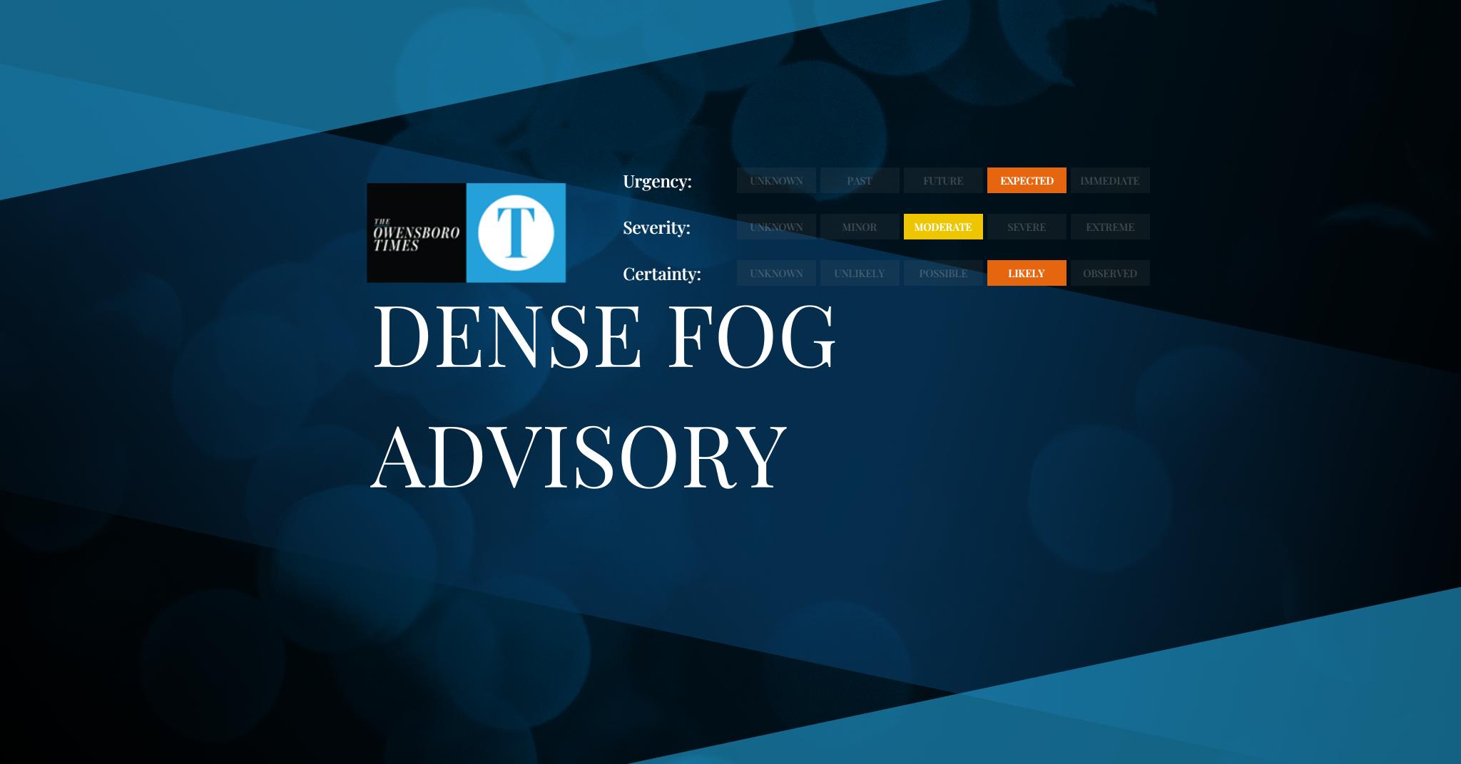
Dense Fog Advisory
FROM: NWS Hastings NE AREA: Smith; Jewell; Osborne; Mitchell SENT: 2026-02-15T11:57:00-06:00 Dense Fog Advisory issued February 15 at 11:57AM CST until February 15 at 12:00PM CST by NWS Hastings NE Though a few isolated patches of dense fog may continue to linger in a few spots, visibilities for the most part have started to show…
-
Dense Fog Advisory
FROM: NWS Wichita KS AREA: Russell; Lincoln; Barton; Ellsworth; Rice SENT: 2026-02-15T11:56:00-06:00 Dense Fog Advisory issued February 15 at 11:56AM CST until February 15 at 12:00PM CST by NWS Wichita KS Fog is quickly dissipating across the area. Therefore, the advisory will be allowed to expire. Alert Expiration: 2026-02-15T13:00:00-06:00
-

Dense Fog Advisory
FROM: NWS Anchorage AK AREA: Anchorage; Lower Matanuska Valley SENT: 2026-02-15T08:48:00-09:00 Dense Fog Advisory issued February 15 at 8:48AM AKST until February 15 at 9:00AM AKST by NWS Anchorage AK The threat has ended. Alert Expiration: 2026-02-15T10:00:00-09:00
-

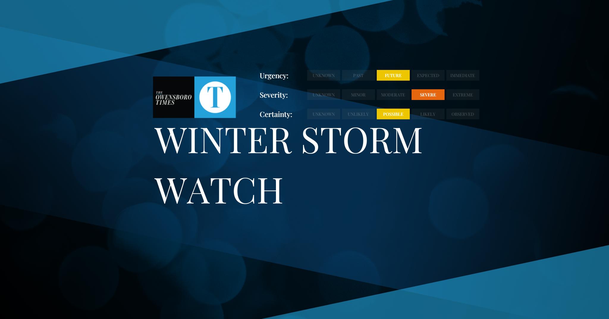
Winter Storm Watch
FROM: NWS Fairbanks AK AREA: Shishmaref; Bering Strait Coast; Yukon Delta Coast; St Lawrence Island SENT: 2026-02-15T08:48:00-09:00 Winter Storm Watch issued February 15 at 8:48AM AKST until February 18 at 3:00PM AKST by NWS Fairbanks AK * WHAT…Blizzard conditions possible. Total snow accumulations between 6 and 12 inches possible. Winds could gust as high as…
-

Winter Storm Watch
FROM: NWS Fairbanks AK AREA: South Slopes of the Western Brooks Range; Upper Kobuk Valleys SENT: 2026-02-15T08:48:00-09:00 Winter Storm Watch issued February 15 at 8:48AM AKST until February 18 at 3:00PM AKST by NWS Fairbanks AK * WHAT…Heavy snow possible. Total snow accumulations between 5 to 10 inches possible. Winds could gust as high as…
-
Winter Storm Watch
FROM: NWS Fairbanks AK AREA: Noatak Valley; Kivalina and Red Dog Dock; Lower Kobuk Valley; Baldwin Peninsula; Northern Seward Peninsula SENT: 2026-02-15T08:48:00-09:00 Winter Storm Watch issued February 15 at 8:48AM AKST until February 19 at 3:00AM AKST by NWS Fairbanks AK * WHAT…Blizzard conditions possible. Total snow accumulations between 4 to 9 inches possible. Winds…
-

Winter Storm Watch
FROM: NWS Fairbanks AK AREA: Lower Koyukuk Valley; Middle Yukon Valley; Lower Yukon and Innoko Valleys; North Slopes of the Western Alaska Range; Upper Kuskokwim Valley SENT: 2026-02-15T08:48:00-09:00 Winter Storm Watch issued February 15 at 8:48AM AKST until February 18 at 3:00PM AKST by NWS Fairbanks AK * WHAT…Heavy snow possible. Total snow accumulations between…
Got any book recommendations?