Mindblown: a blog about philosophy.
-

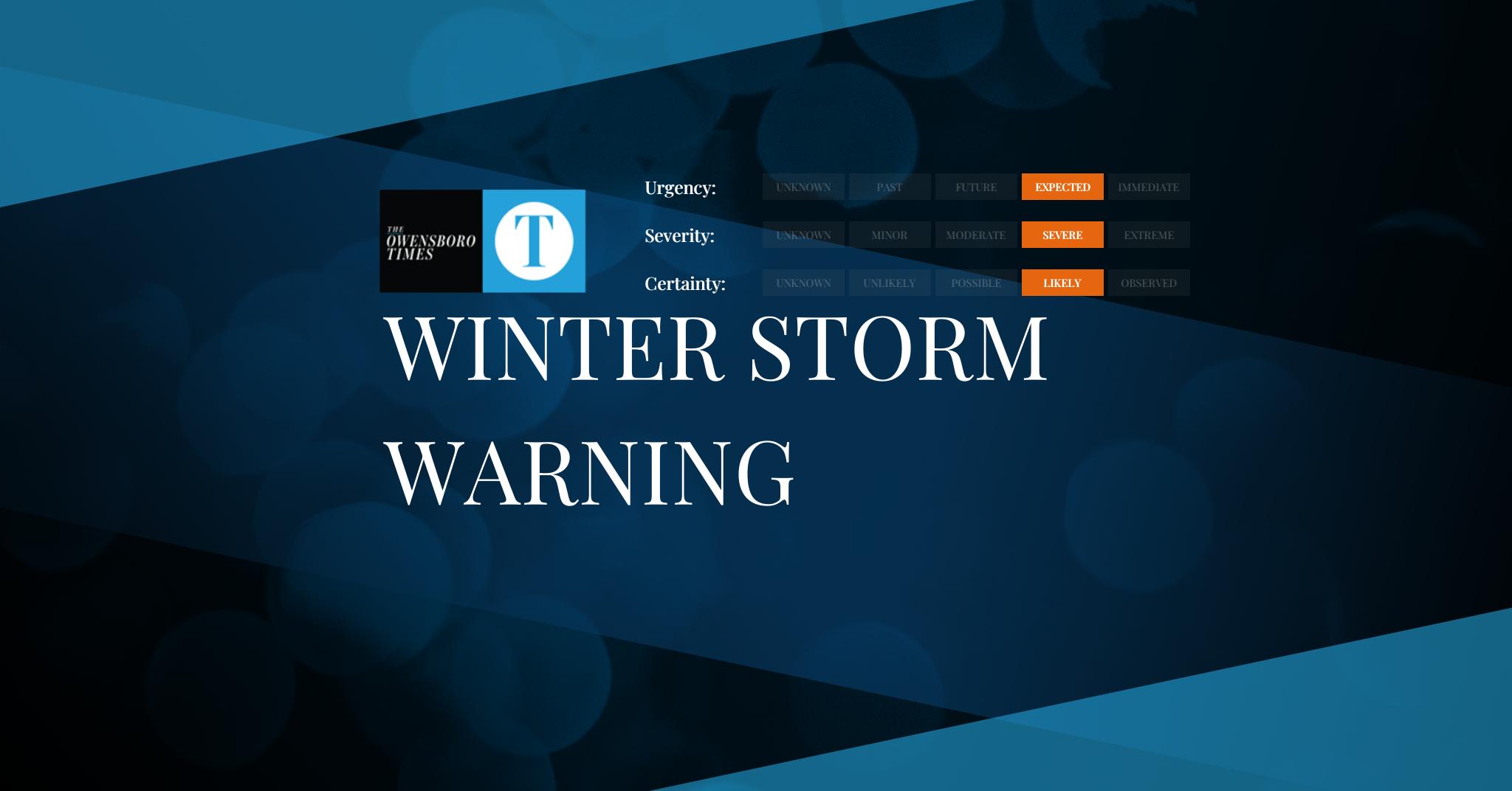
Winter Storm Warning
FROM: NWS Eureka CA AREA: Northern Trinity; Southern Trinity SENT: 2026-02-15T09:39:00-08:00 Winter Storm Warning issued February 15 at 9:39AM PST until February 18 at 4:00PM PST by NWS Eureka CA * WHAT…Heavy snow expected for elevations above 5000 feet through Monday, then above 2000 feet Monday night. Total snow accumulation between 5 to 10 inches…
-

Dense Fog Advisory
FROM: NWS Grand Forks ND AREA: West Polk; Kittson; West Marshall SENT: 2026-02-15T11:36:00-06:00 Dense Fog Advisory issued February 15 at 11:36AM CST until February 15 at 2:00PM CST by NWS Grand Forks ND * WHAT…Visibility one quarter mile or less in dense fog. * WHERE…Kittson, West Marshall, and West Polk Counties. * WHEN…Until 2 PM…
-

Dense Fog Advisory
FROM: NWS Grand Forks ND AREA: Norman; Clay; Roseau; East Marshall; Pennington; Red Lake; East Polk; Mahnomen; South Clearwater; Hubbard; West Becker; East Becker; West Otter Tail; East Otter Tail; Wadena; Pembina; Eastern Walsh County; Grand Forks; Steele; Traill; Cass SENT: 2026-02-15T11:36:00-06:00 Dense Fog Advisory issued February 15 at 11:36AM CST until February 15 at…
-

Dense Fog Advisory
FROM: NWS Dodge City KS AREA: Ellis; Ness; Rush; Hodgeman; Pawnee; Gray; Ford; Meade SENT: 2026-02-15T11:35:00-06:00 Dense Fog Advisory issued February 15 at 11:35AM CST until February 15 at 12:00PM CST by NWS Dodge City KS Alert Expiration: 2026-02-15T12:45:00-06:00
-

Dense Fog Advisory
FROM: NWS Dodge City KS AREA: Seward SENT: 2026-02-15T11:35:00-06:00 Dense Fog Advisory issued February 15 at 11:35AM CST until February 15 at 12:00PM CST by NWS Dodge City KS * WHAT…Southwest winds 30 to 45 mph with gusts up to 60 mph possible. * WHERE…Seward County. * WHEN…Tuesday afternoon. * IMPACTS…On Tuesday, travel will be…
-

Red Flag Warning
FROM: NWS Riverton WY AREA: Natrona County/Casper BLM; Johnson County/Casper BLM SENT: 2026-02-15T10:31:00-07:00 Red Flag Warning issued February 15 at 10:31AM MST until February 16 at 5:00PM MST by NWS Riverton WY * IMPACTS: Low Humidities…Unseasonably Warm Temperatures…and Strong Gusty Winds could cause erratic fire behavior. * AFFECTED AREA: In Central WY Fire Zone….280. In…
-
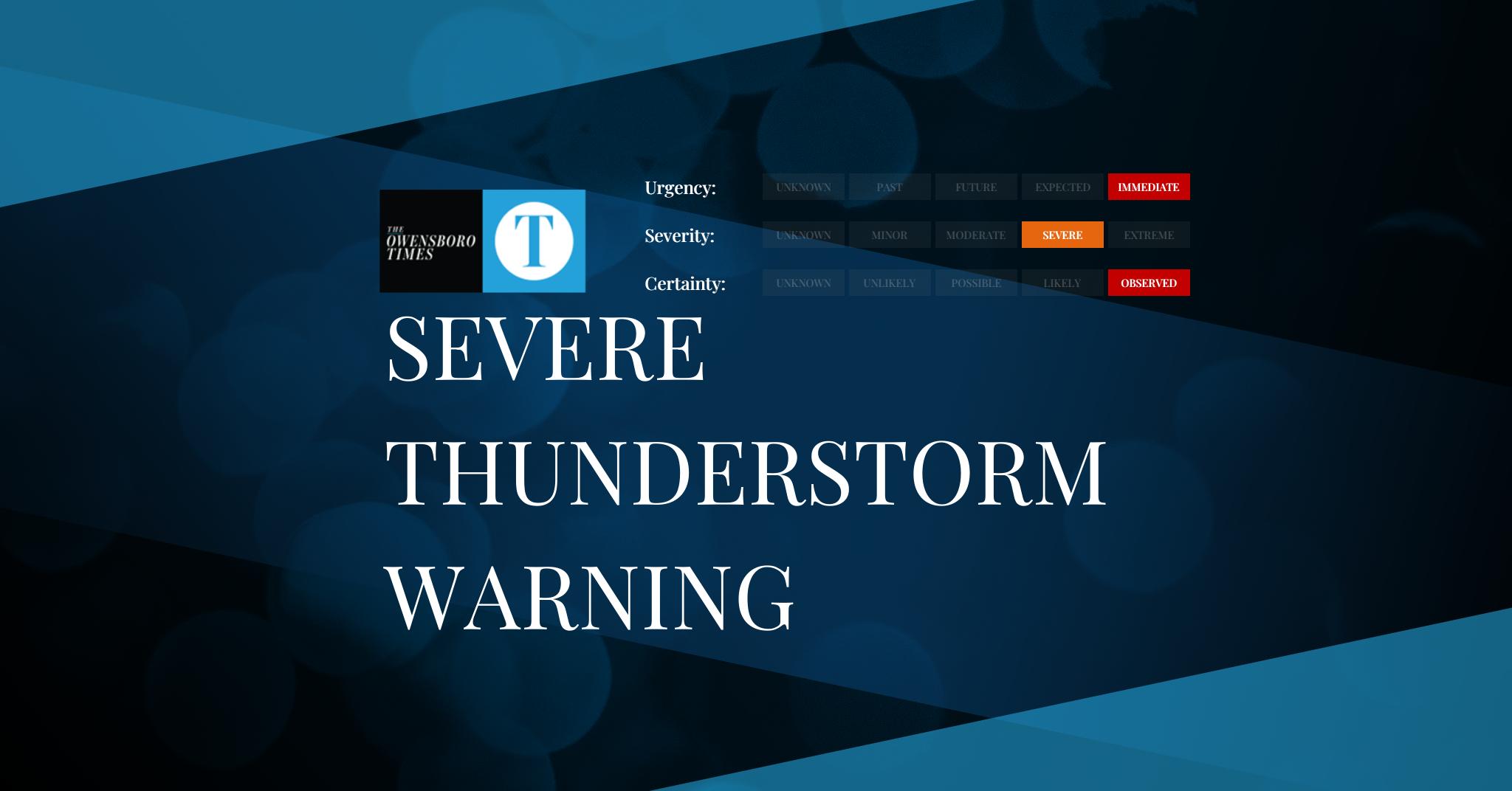
Severe Thunderstorm Warning
FROM: NWS Tallahassee FL AREA: Gadsden, FL; Jefferson, FL; Leon, FL; Wakulla, FL; Brooks, GA; Colquitt, GA; Grady, GA; Mitchell, GA; Thomas, GA SENT: 2026-02-15T12:12:00-05:00 Severe Thunderstorm Warning issued February 15 at 12:12PM EST until February 15 at 12:45PM EST by NWS Tallahassee FL At 1211 PM EST, severe thunderstorms were located along a line…
-

Severe Thunderstorm Warning
FROM: NWS Tallahassee FL AREA: Franklin, FL; Leon, FL; Liberty, FL; Wakulla, FL SENT: 2026-02-15T12:13:00-05:00 Severe Thunderstorm Warning issued February 15 at 12:13PM EST until February 15 at 12:30PM EST by NWS Tallahassee FL At 1212 PM EST, severe thunderstorms were located along a line extending from 9 miles southwest of Tallahassee State College to…
-
Winter Storm Warning
FROM: NWS Los Angeles/Oxnard CA AREA: Northern Ventura County Mountains; Eastern San Gabriel Mountains SENT: 2026-02-15T09:07:00-08:00 Winter Storm Warning issued February 15 at 9:07AM PST until February 19 at 9:00AM PST by NWS Los Angeles/Oxnard CA * WHAT…Heavy snow possible. Total snow accumulations of up to 4 inches between 3500 and 4500 feet, 6 to…
-

Winter Storm Watch
FROM: NWS Los Angeles/Oxnard CA AREA: Santa Barbara County Interior Mountains; Southern Ventura County Mountains; Interstate 5 Corridor SENT: 2026-02-15T09:07:00-08:00 Winter Storm Watch issued February 15 at 9:07AM PST until February 19 at 9:00AM PST by NWS Los Angeles/Oxnard CA * WHAT…Heavy snow possible. Total snow accumulations of 1 to 4 inches for 3500 to…
Got any book recommendations?