FROM: NWS New Orleans LA
AREA: Livingston, LA; St. John The Baptist, LA; Tangipahoa, LA
SENT: 2026-07-05T14:54:00-05:00
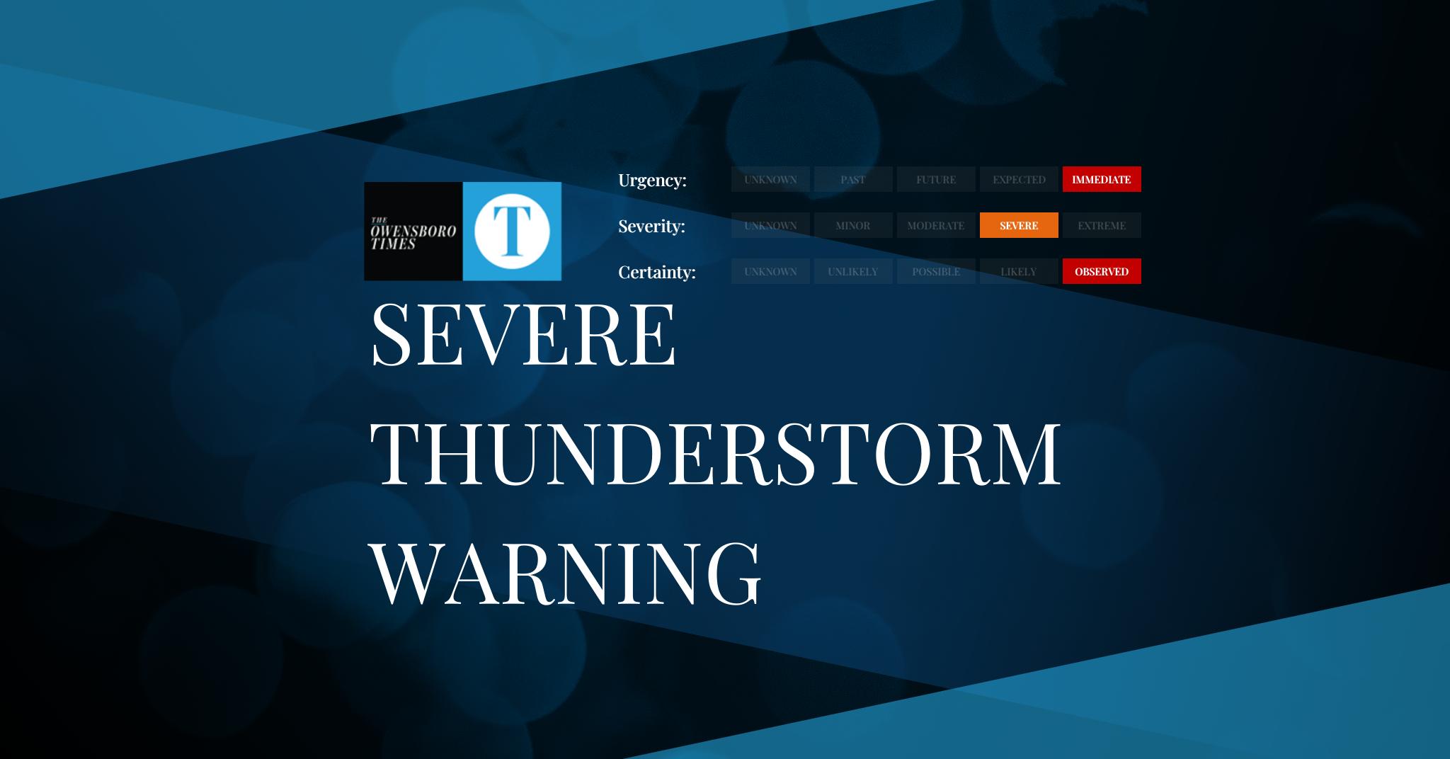
Severe Thunderstorm Warning issued July 5 at 2:54PM CDT until July 5 at 3:45PM CDT by NWS New Orleans LA
SVRLIX
The National Weather Service in New Orleans has issued a
* Severe Thunderstorm Warning for…
Northeastern St. John The Baptist Parish in southeastern
Louisiana…
East central Livingston Parish in southeastern Louisiana…
Southern Tangipahoa Parish in southeastern Louisiana…
* Until 345 PM CDT.
* At 254 PM CDT, a severe thunderstorm was located near Ponchatoula,
or 9 miles south of Hammond, moving southeast at 15 mph.
HAZARD…60 mph wind gusts and quarter size hail.
SOURCE…Radar indicated.
IMPACT…Hail damage to vehicles is expected. Expect wind damage
to roofs, siding, and trees.
* Locations impacted include…
Ponchatoula, Springfield, Killian, and W Lk Pontchartrain Buoy.
This includes Interstate 55 in Louisiana between mile markers 10 and
28.
For your protection move to an interior room on the lowest floor of a
building.
If on or near areas of water, get away and move indoors or inside a
vehicle. Remember, lightning can strike out to 15 miles from the
parent thunderstorm. If you can hear thunder, you are close enough to
be struck by lightning. Move to safe shelter now! Do not be caught
on the water in a thunderstorm.
Alert Expiration: 2026-07-05T15:45:00-05:00
⚠️ This alert has been CANCELLED by NWS New Orleans LA.
Leave a Reply