FROM: NWS Duluth MN
AREA: Koochiching; North St. Louis; Northern Cook/Northern Lake; North Itasca; Central St. Louis; North Cass; South Itasca; Northern Aitkin; Carlton/South St. Louis
SENT: 2026-02-15T14:32:00-06:00
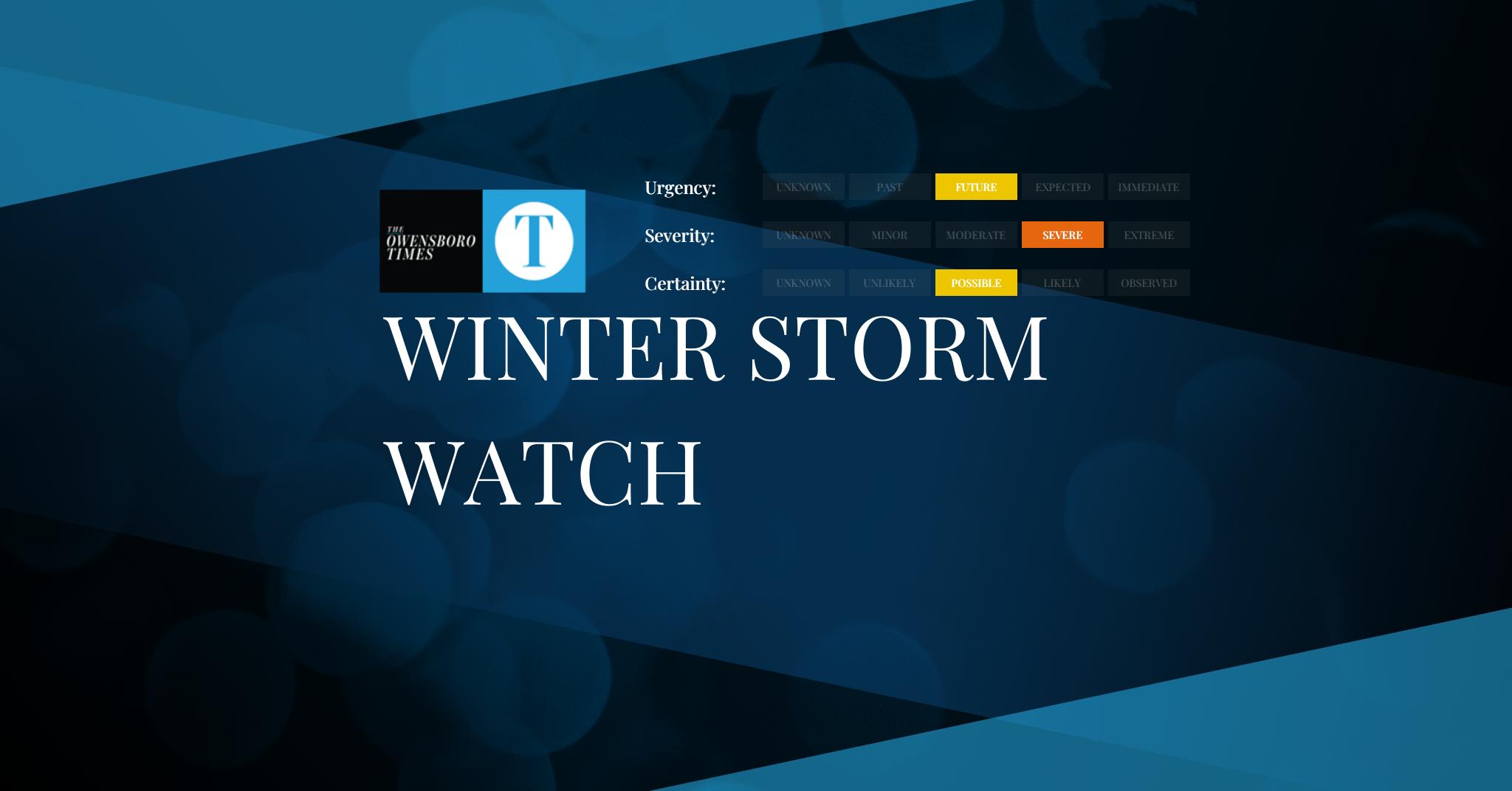
Winter Storm Watch issued February 15 at 2:32PM CST until February 19 at 12:00PM CST by NWS Duluth MN
* WHAT…Heavy snow, patchy blowing snow, and mixed precipitation
possible. There is a 50 to 90 percent chance for total snow
accumulations in excess of 6 inches, highest for the higher
terrain of the North Shore. There is also a 20 to 70 percent
chance for at least a glaze of ice accumulations. Winds could gust
as high as 35 mph.
* WHERE…Northern Aitkin, Koochiching, North Cass, Itasca, Carlton,
St. Louis, and Northern Cook and Lake Counties. This includes the
Tribal Lands of the Fond du Lac Band, the Mille Lacs Band, Big
Sandy Lake area and the Bois Forte Band, Nett Lake, Deer Creek
and, Lake Vermilion areas. Other locations including Voyageurs
National Park. The entire Boundary Waters is also included.
* WHEN…From Tuesday evening through Thursday morning.
* IMPACTS…Travel could be very difficult. The hazardous conditions
could impact the Tuesday evening, Wednesday, and Thursday morning
commutes.
* ADDITIONAL DETAILS…Periods of gusty winds and visibility of less
than one quarter mile are possible in the Winter Storm Watch area.
The best potential for a wintry mix will be along and south of the
Iron Range Tuesday evening into Wednesday morning.
Monitor the latest forecasts for updates on this situation.
Alert Expiration: 2026-02-16T05:15:00-06:00
Leave a Reply