FROM: NWS Los Angeles/Oxnard CA
AREA: Santa Barbara, CA
SENT: 2026-02-16T08:41:00-08:00
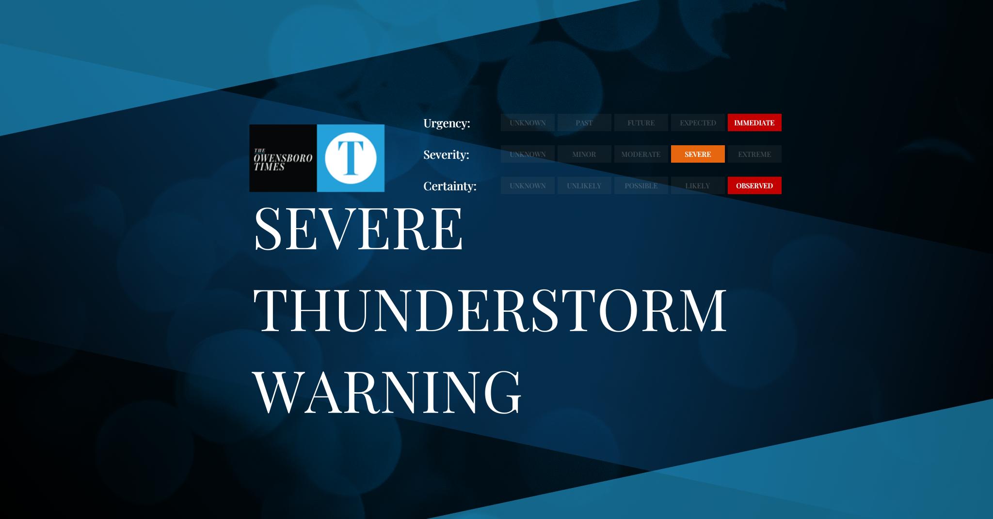
Severe Thunderstorm Warning issued February 16 at 8:41AM PST until February 16 at 9:30AM PST by NWS Los Angeles/Oxnard CA
At 840 AM PST, severe thunderstorms were located along a line
extending from near Santa Maria to near Refugio State Beach, moving
northeast at 35 mph.
HAZARD…70 mph wind gusts.
SOURCE…Radar indicated.
IMPACT…Expect considerable tree damage. Damage is likely to mobile
homes, roofs, and outbuildings.
Locations impacted include…
Santa Maria…
Lompoc…
Santa Ynez…
Solvang…
Vandenberg Space Force Base…
El Capitan State Beach…
Orcutt…
Los Alamos…
Refugio State Beach…
Highway 101 through Gaviota State Park…
Isla Vista…
Goleta…
Guadalupe…
Buellton…
Sisquoc…
Santa Barbara Airport…
Vandenberg Village…
Lake Cachuma…
and Mission Hills.
Remain alert for a possible tornado! Tornadoes can develop quickly
from severe thunderstorms. If you spot a tornado go at once into the
basement or small central room in a sturdy structure.
For your protection move to an interior room on the lowest floor of a
building.
Torrential rainfall is occurring with these storms, and may lead to
flash flooding. Do not drive your vehicle through flooded roadways.
Alert Expiration: 2026-02-16T09:30:00-08:00
Leave a Reply