FROM: NWS Duluth MN
AREA: Southern Lake/North Shore; Southern Cook/North Shore
SENT: 2026-02-15T14:32:00-06:00
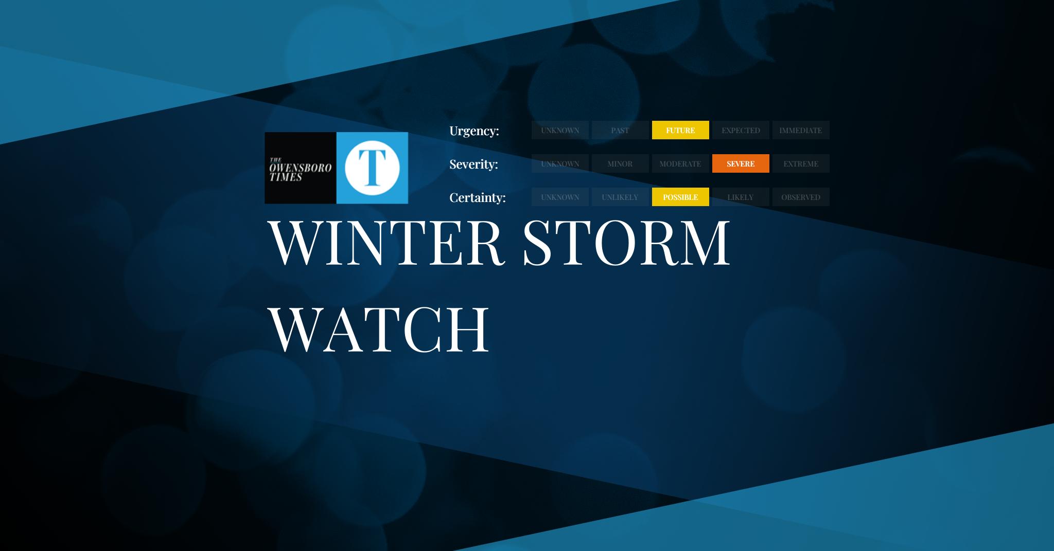
Winter Storm Watch issued February 15 at 2:32PM CST until February 19 at 12:00PM CST by NWS Duluth MN
* WHAT…Blizzard conditions possible. There is an 80 to 95 percent
chance for total snow accumulations in excess of 6 inches and a 50
to 90 percent chance for total snow accumulations in excess of 12
inches. Ice accumulations around a light glaze possible. Winds
could gust as high as 50 mph.
* WHERE…Southern Cook and Southern Lake Counties. This includes
the Tribal Lands of the Grand Portage Reservation.
* WHEN…From Tuesday evening through Thursday morning.
* IMPACTS…Travel could be very difficult to impossible. Areas of
blowing snow could significantly reduce visibility. The hazardous
conditions could impact the Tuesday evening, Wednesday, and
Thursday morning commutes.
* ADDITIONAL DETAILS…Expect terrain and lake enhancement to
snowfall totals and snowfall rates. The heaviest snowfall rates
will be Tuesday night and Wednesday morning. Winds will be
strongest Tuesday evening into Wednesday morning. The best
potential for a wintry mix will be along and southwest of Silver
Bay Tuesday evening into Wednesday morning.
Prepare for possible blizzard conditions, especially whiteout
conditions along Highway 61 on the North Shore. Continue to monitor
the latest forecasts for updates on this situation.
Persons should consider delaying travel. If travel is absolutely
necessary, drive with extreme caution. Consider taking a winter
storm kit along with you, including such items as tire chains,
booster cables, flashlight, shovel, blankets and extra clothing.
Also take water, a first aid kit, and anything else that would help
you survive in case you become stranded.
Alert Expiration: 2026-02-16T05:15:00-06:00
Leave a Reply