FROM: NWS New Orleans LA
AREA: St. Tammany, LA; Hancock, MS; Harrison, MS; Pearl River, MS
SENT: 2026-02-15T01:54:00-06:00
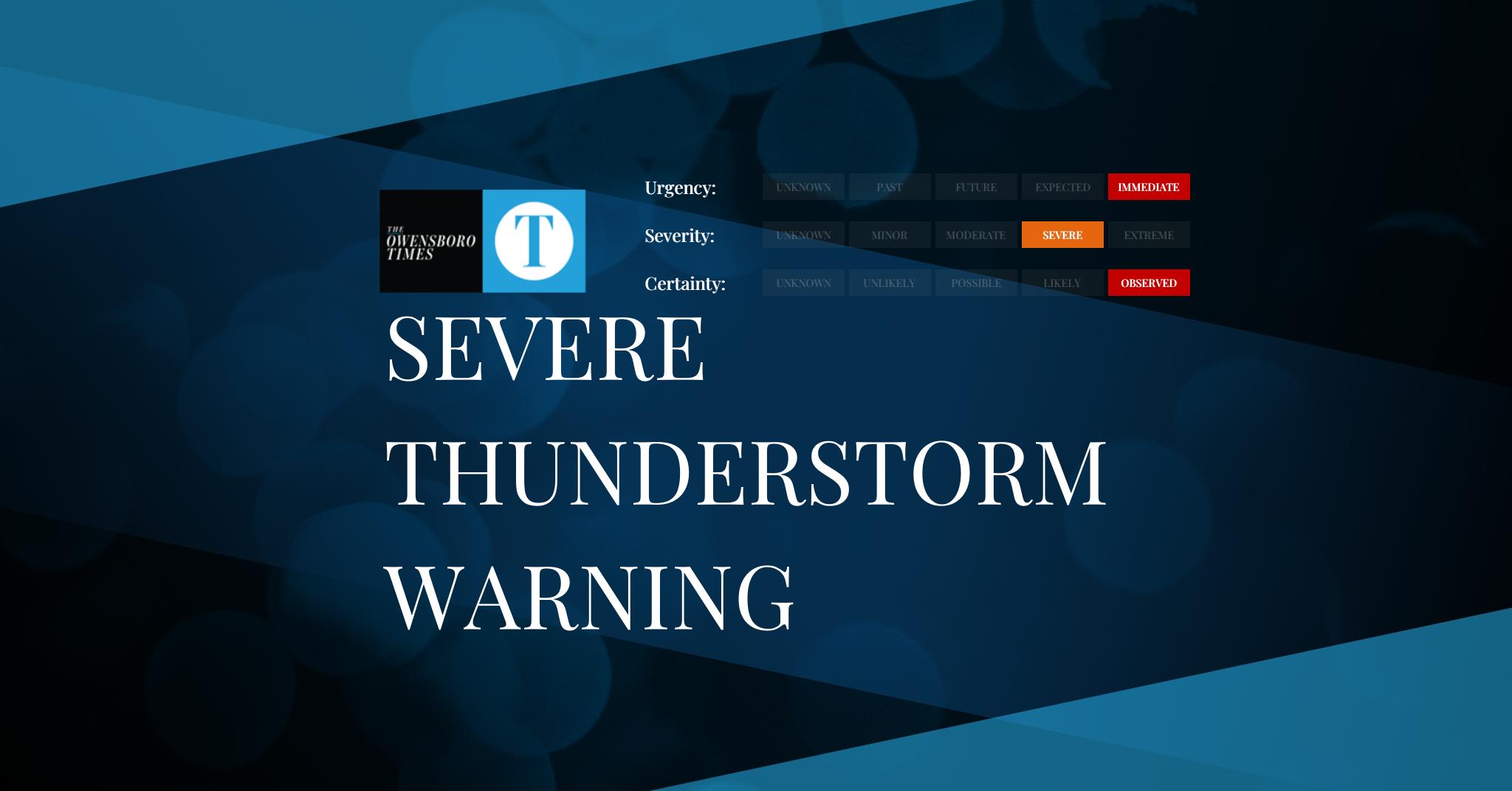
Severe Thunderstorm Warning issued February 15 at 1:54AM CST until February 15 at 2:30AM CST by NWS New Orleans LA
At 153 AM CST, severe thunderstorms were located along a line
extending from near Lumberton to 7 miles southeast of Mcneil to near
Eden Isle, moving east at 40 mph.
HAZARD…60 mph wind gusts.
SOURCE…Radar indicated.
IMPACT…Expect damage to roofs, siding, and trees.
Locations impacted include…
Slidell, Picayune, Bay St. Louis, Waveland, Poplarville, Eden Isle,
Diamondhead, Pearl River, Kiln, Pearlington, Shoreline Park, Stennis
Space Center, Saucier, Mcneil, and Slidell Airport.
This includes the following Interstates…
Interstate 10 in Louisiana between mile markers 259 and 273.
Interstate 10 in Mississippi between mile markers 1 and 24.
Interstate 12 between mile markers 80 and 84.
Interstate 59 in Louisiana between mile markers 1 and 11.
Interstate 59 in Mississippi between mile markers 1 and 42.
A Tornado Watch remains in effect until 500 AM CST for southeastern
Louisiana…and southern Mississippi.
For your protection move to an interior room on the lowest floor of a
building.
Alert Expiration: 2026-02-15T02:30:00-06:00
Leave a Reply